We’ve been providing data on the changing climate for over 20 years. The climate risks we were drawing attention to back then, are happening now — we see it in the accelerating frequency and extremity of droughts and floods. We all need to think about the impacts of a changing climate.
Who we are
Global leaders in physical climate risk
Trusted and endorsed by some of the world’s largest and most complex organisations, we have worked in climate zones across every continent and a wide range of sectors to deliver climate risk assessments and modelling that makes a meaningful contribution to the twin challenges of climate change and biodiversity loss.
Combined brainstrust of over 210 years of experience in climate change
We bring together climate scientists, data engineers, programmers, meteorologists, earth scientists, economists and business specialists, along with the benefit of insights gained from applied climate model data processed and analysed for thousands of projects, to support informed decision making in a climate changed world.
Complex data turned into knowledge
We bridge the gap between climate science and its practical applications so you can understand your changing climate risk profile and take informed actions to reduce risks and foster climate resilience.
Innovative, new ways to access high-quality, robust atmosphere, land and ocean climate data
We’re leading the way with state-of-the-science, user-friendly software systems designed and developed to identify and assess site-specific and spatial projected climatic risk, mitigation and reduction.
Meet our team
Science

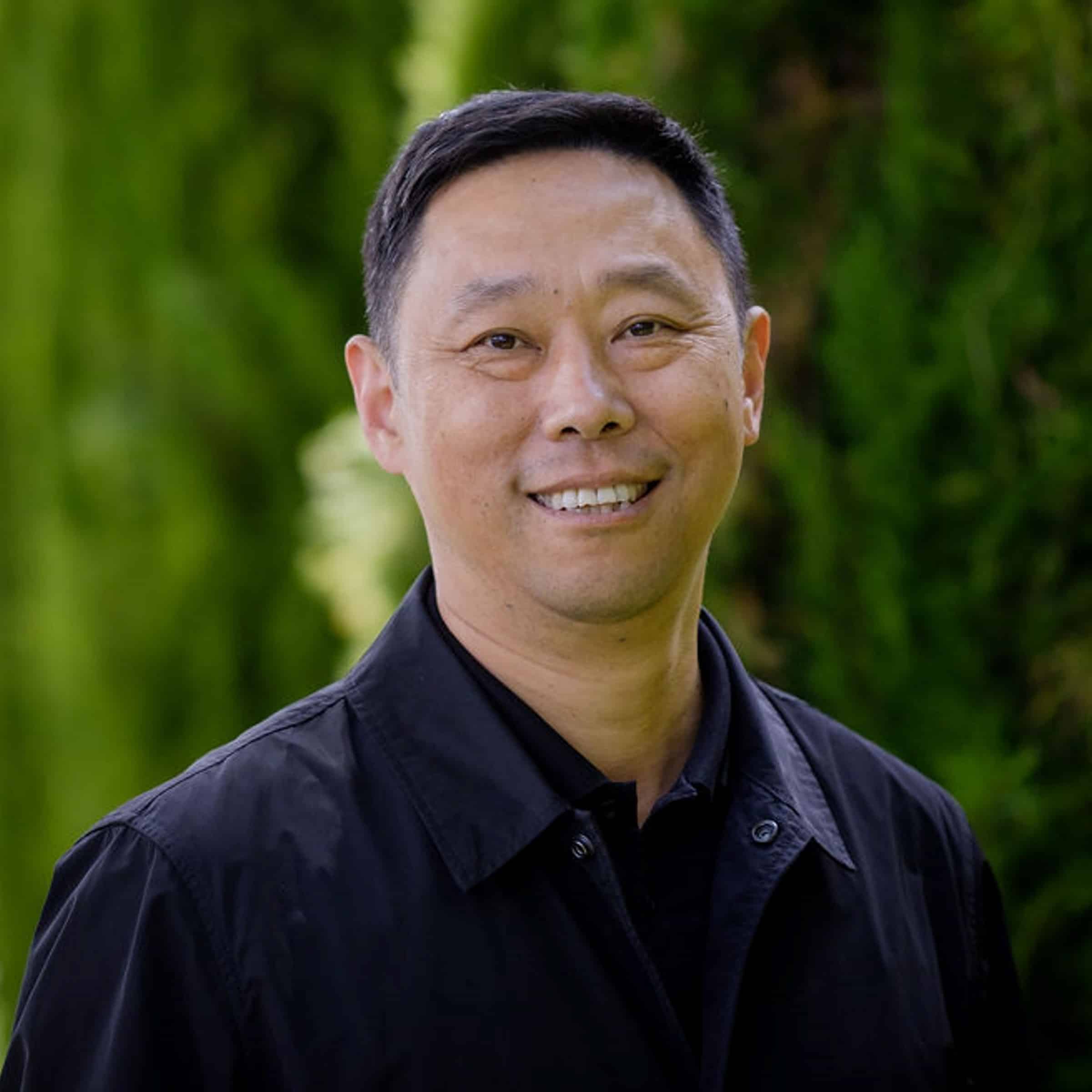
Dr. Peter Urich
Managing Director
Peter has over 20 years’ experience in community development, resource management, climate change adaptation and risk assessment. As Managing Director and a key scientist, he works at the cutting edge of climate science and its application in critical infrastructure projects around the world. Peter holds a PhD in Human Geography from the Research School of Pacific and Asian Studies at the Australian National University.

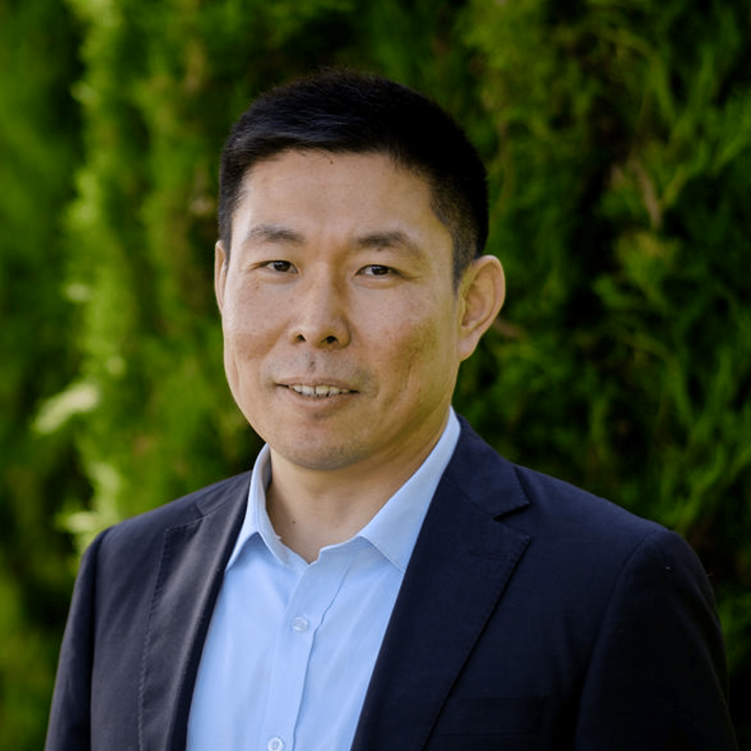
Dr. Yinpeng Li
Chief Climate Scientist
An internationally recognised expert in climate change modelling and adaptation, Yinpeng has worked collaboratively with research scientists and international organisations and companies across different sectors to deliver 40+ projects over the last 20 years. He has a PhD in Ecology and Masters in Agronomy.

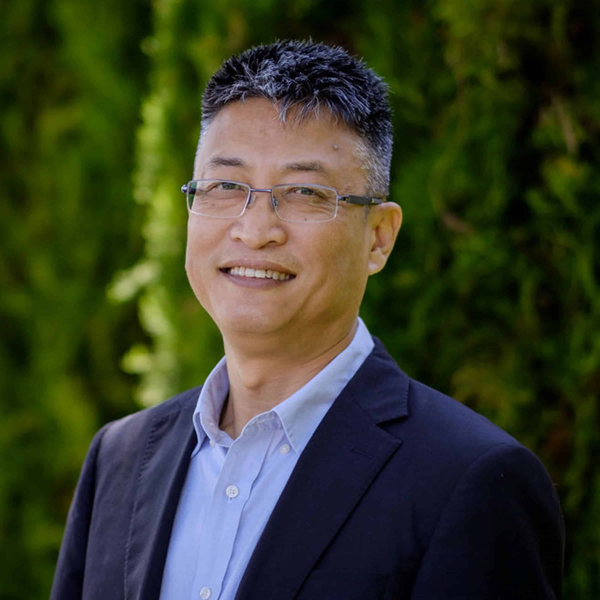
Dr. Chonghua Yin
Lead, Data Sciences
With over 10 years’ experience, Chonghua has developed expertise in climate change data and modelling, and integrated assessment. He holds a PhD in Environmental Science, Master of Meteorology, and a Bachelor of Aerospace Science and Technology.
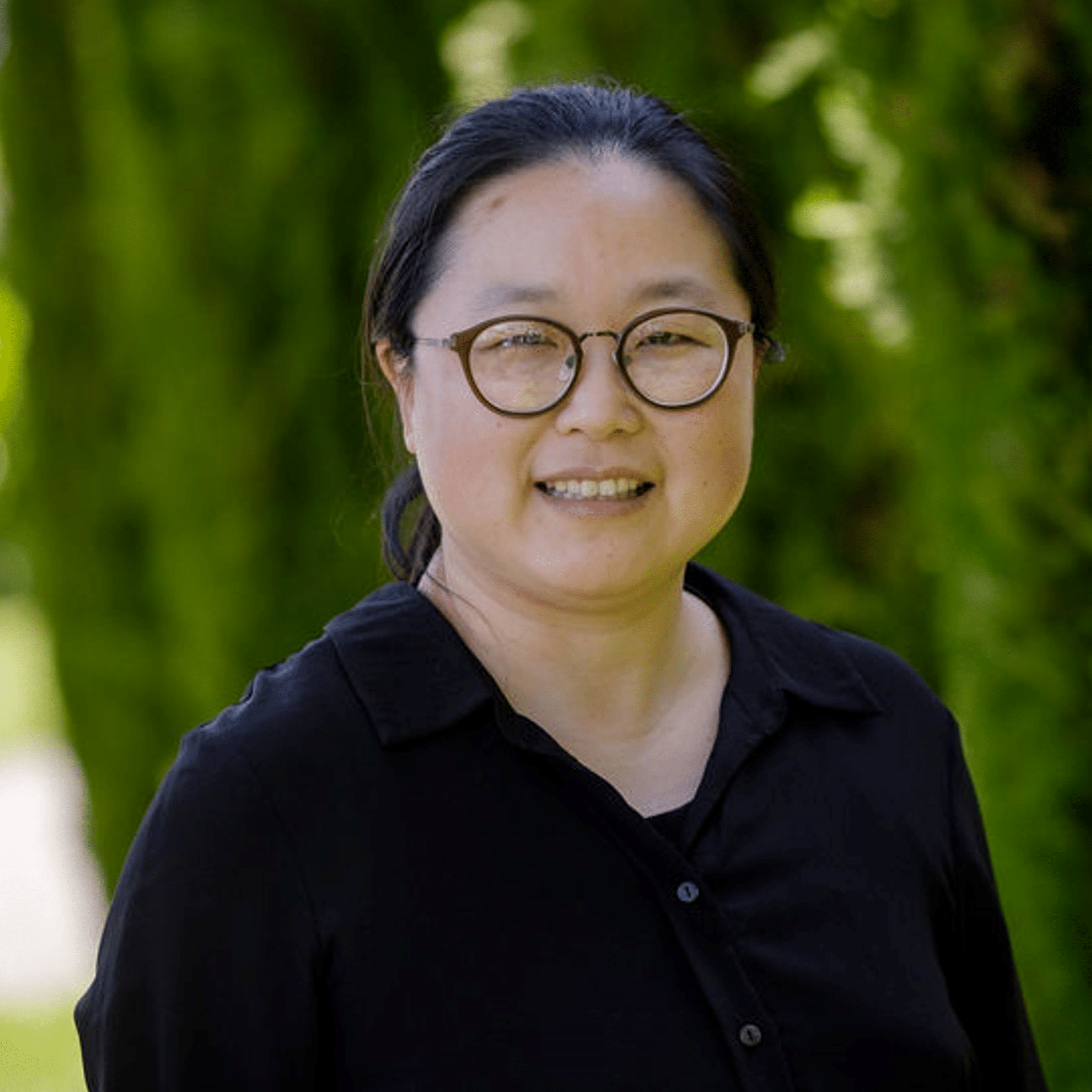
Dr. Meng Wang
Senior Climate/Hydrology Scientist
Meng’s main area of expertise is climate change integrated assessment modelling, with her skills and knowledge developed over her 15+ years’ experience of mathematical and statistical modelling research and scientific programming. She is a research fellow with International Global Change Institute and has a PhD in Climate Science
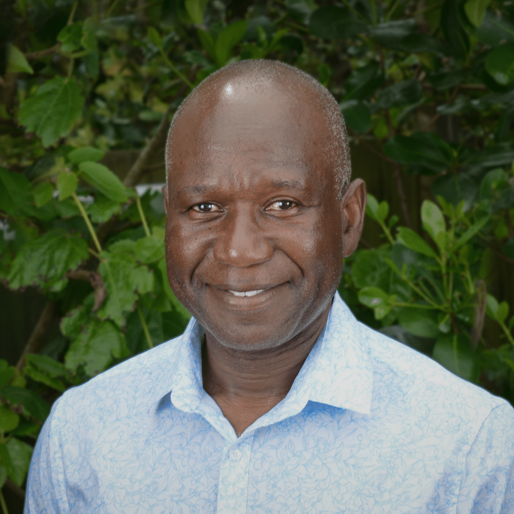
Dr. Sennye Masike
Resource Economist
Sennye is an environmental economist with a PhD in climate change impact assessment. Having worked in over 20 countries on various thematic areas, he has extensive knowledge and experience in climate change impact, adaptation, and mitigation assessments.

Dr. Wenyu Qiu
Climate Scientist
Wenyu’s expertise is in tropical cyclone simulation and other severe extreme weather research and forecasting. With a PhD in Atmospheric Science and many years’ experience, she undertakes atmospheric research, oceanographic and extreme weather analysis.

Dr. Lu Sun
Climate Scientist
Lu has a strong mathematical, physical and computer science background, with a PhD in Physics and a Masters in Atmospheric Sciences.

Dr. Xiaobin Hua
Geospatial Modelling Scientist
Xiaobin's expertise includes geospatial analysis, vegetation dynamics, land use/land cover, and GIS & remote sensing applications. He holds a PhD in Geography, a Master of Cartography & GIS, and a Bachelor of Forestry.
Business

Clare Wimmer
Finance Manager
Clare supports the executive management team and board of directors offering insights and financial reports for informed decision making as well as R&D tracking, accounting, and business system. Her broad work experience includes the global medical supply industry for Baxter Scientific, BD (Becton Dickinson), immigration, tourism, building, and environmental consulting. Clare's academic background in facilitative leadership, sustainability and business research has moved regional and national not-for-profit organisations to a higher level.

Sarah Bolton
Support Services
Sarah is a member of the International Global Change Institute. Prior to joining ClimSystems, Sarah was a fully registered teacher, team leader and part of school management, with a strong interest in our changing climate, including food security issues and climate injustice. Outside of her work for ClimSystems, Sarah has partnered with Te Whatu Ora and Life Education to develop and deliver programmes for educators on teaching about these issues.

Siena Brody-Heine
Technical Project Manager
With a Masters in Disaster Risk Reduction and Climate Modelling, Siena has expertise in wildfire modelling and risk analysis. She manages the delivery of climate risk projects, streamline operations to ensure high-quality solutions for our clients.

Ying Hui Loh
Science Writer
With a huge passion for science communication, Ying supports the team by crafting stories about the important work they do. She wrote for educational magazines and content studios in Singapore focusing on issues in science and sustainability. She has also experienced life as a labourer and sample collector in New Zealand’s horticulture industry and is particularly interested in the socio-economic impacts of climate change. Her innate curiosity, imagination and analytical skills inform her work.
Software, Data & Programming

Matthew Dooley
Head of Software Development
Matthew has a Bachelor of Information Technology and experience in various desktop and web-based applications. His expertise is in developing various languages and frameworks, including Delphi, C#, Objective C, and various web technologies.
Zhaoquan (Johnny) Yu
Senior Data Analyst and Programmer
Johnny has a Graduate Diploma in Computers and Application, with 20+ years’ experience in software development, system integration, data analysis, and business management. His focus is on algorithm optimisation, scientific computing, and data structure research.

Zhenyan (Jason) Wang
Senior Software Engineer
Jason has a Masters in Information Technology with expertise in operating systems, software engineering, mobile computing and AI.
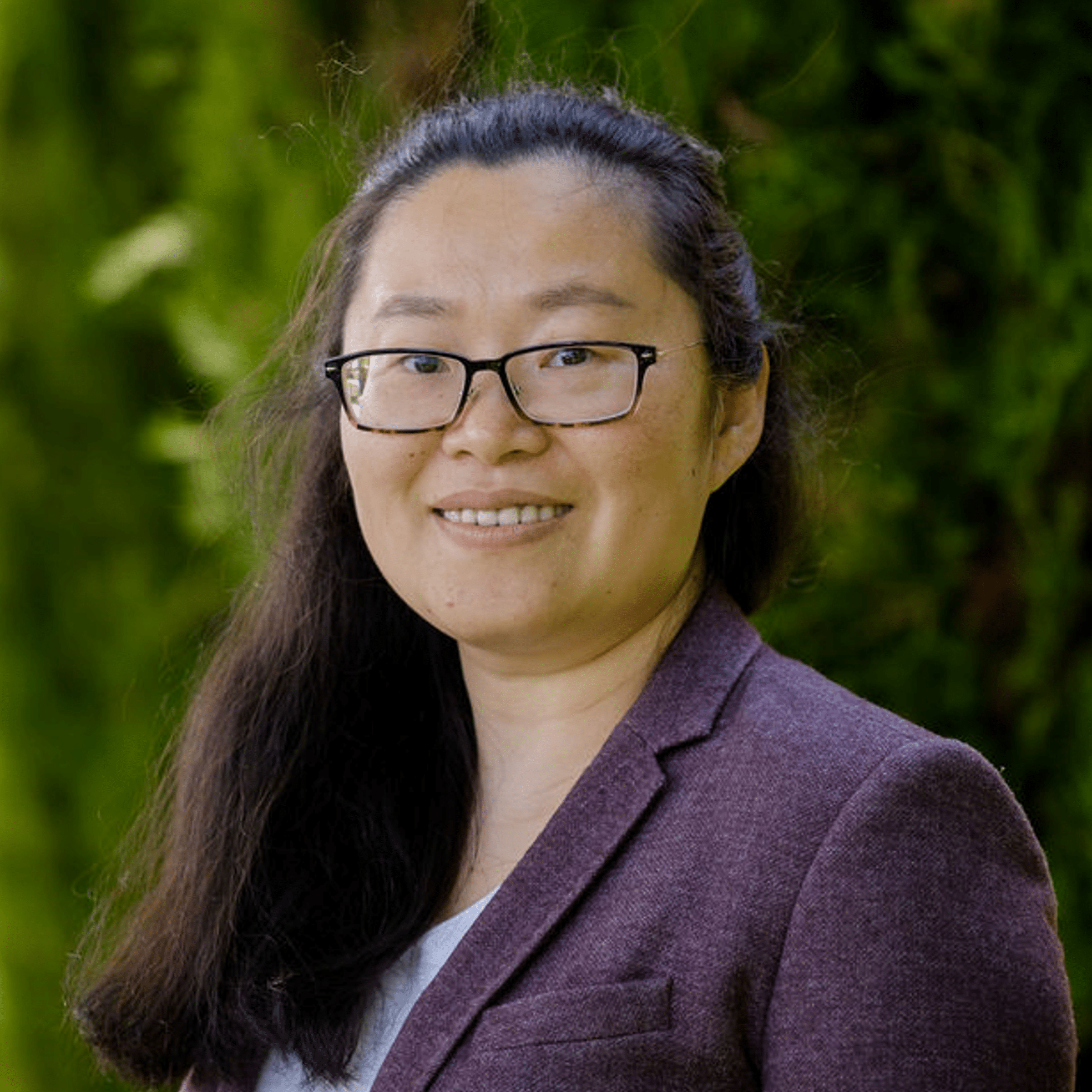
Mo Chen
Economist, Data Analyst
Mo’s primary focus is on sustainable finance data, and climate and environment risk disclosures and reporting methodologies. She holds a Masters in Finance, a Bachelor of Science and Management, and a Bachelor of Economics, and has 14+ years’ experience in corporate management, human resources and administration management across a range of industries and sectors.
Lei (Leo) Wang
Data Management Analyst
Lei has a Masters in Computer and Information Sciences, specialising in Data Science.

Taohua (Joshua) Wu
Data Management Analyst
As part of the data team, Joshua develops or uses existing code and programmes to augment the collection, sorting, analysis and inspection of data, as well as providing valuable data support for the implementation of scientific research. He has a Graduate Diploma in Computer Science from the University of Waikato.
Abel Li
Data Management Analyst
Abel has a Bachelor of Applied Information Technology.