We are engaged in the global climate risk community as a group of curious and passionate scientists. Take a look at some of our commentary, events, and thought pieces.
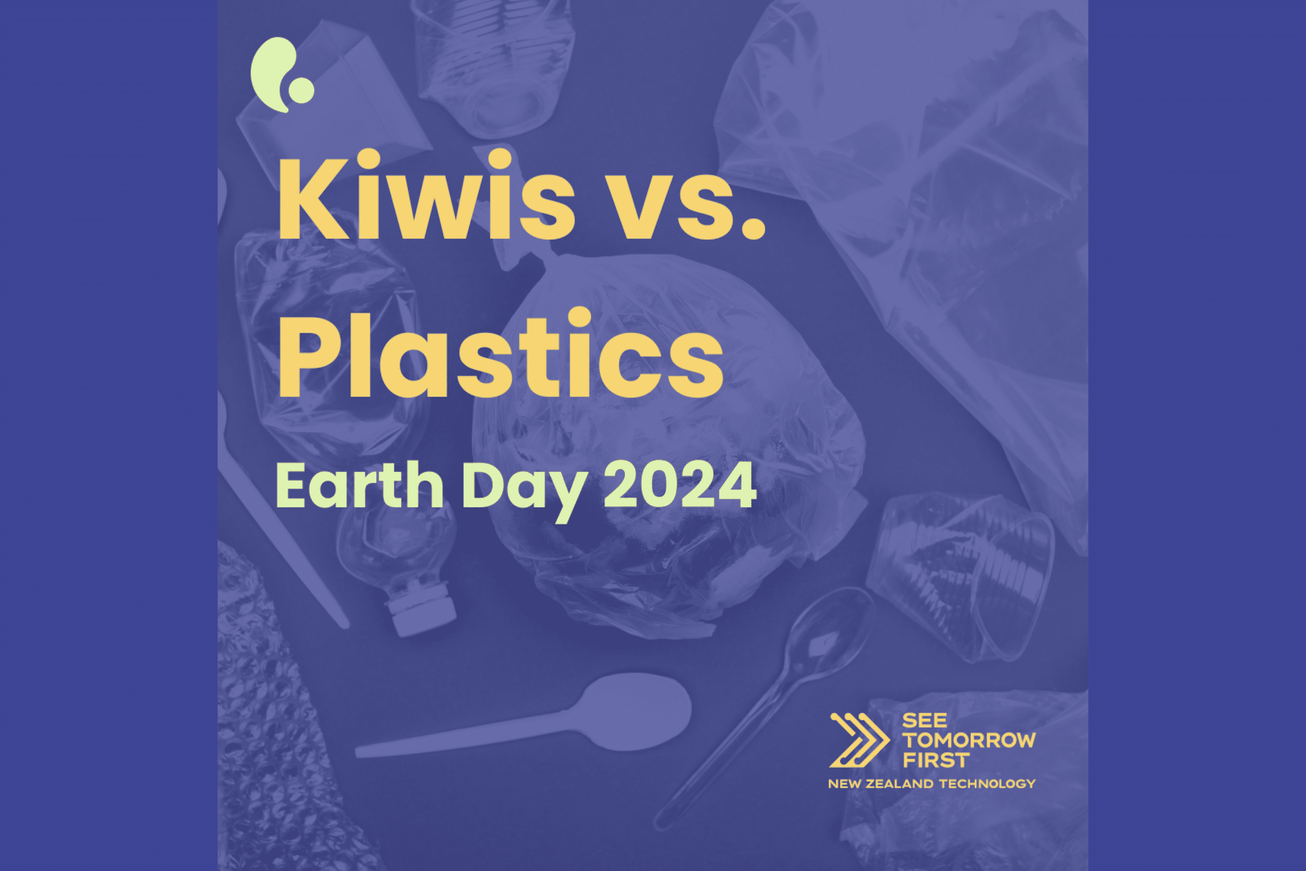
Happy Earth Day 2024!
Read more
ClimSystems’ review highlights readiness to assist reporting entities with mandatory climate-related disclosures
Read more
SEC Passes New Regulation for Climate-Related Disclosures in America
Read more
ClimSystems’ Participates in NZ Fernmark Tech Story Event
Read more
Empowering Change: Retail Sector’s Leadership in Climate Resilience
Read more
Dr Peter Urich Elevates New Zealand’s Climate Strategy on the Global Stage through ISO Committee Involvement
Read more


See More
ClimSystems’ review highlights readiness to assist reporting entities with mandatory climate-related disclosures
Read moreSEC Passes New Regulation for Climate-Related Disclosures in America
Read moreClimSystems’ Participates in NZ Fernmark Tech Story Event
Read moreEmpowering Change: Retail Sector’s Leadership in Climate Resilience
Read moreDr Peter Urich Elevates New Zealand’s Climate Strategy on the Global Stage through ISO Committee Involvement
Read moreC-ESG international progress and Chinese practice
Read moreSee More