ClimSystems climate risk management services support asset owners all over the globe to reduce their climate risk exposure, optimise investment decisions and unlock opportunities.
What we do
Our flagship climate risk assessment tool driven off our Climate Insights Database, enabling you to understand the site-specific projected impacts of acute and slow-onset climate change for your assets or operations.
We provide environment and climate-related consulting to international organisations, national and subnational governments, and corporates.
A stand-alone modelling system designed to facilitate the assessment of risks from climate change, integrating the latest scientific projections of future climate changes for teaching, research and education purposes.
Our online residential property report suitable for lenders, developers, insurers, and investors which includes climatic zone, exposure to earthquake risk, precipitation, wind, temperature, aridity, sea level rise and wildfire.

We provide the scientifically robust climate data required by organisations to produce regulatory disclosures and due diligence reports.

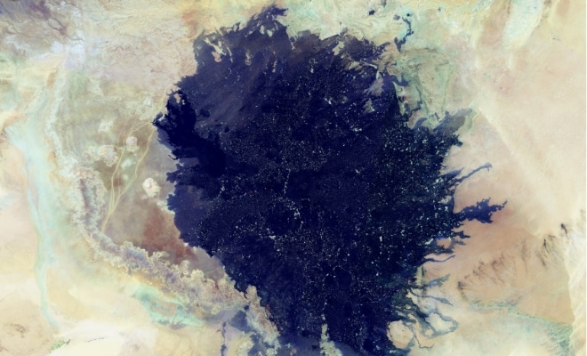
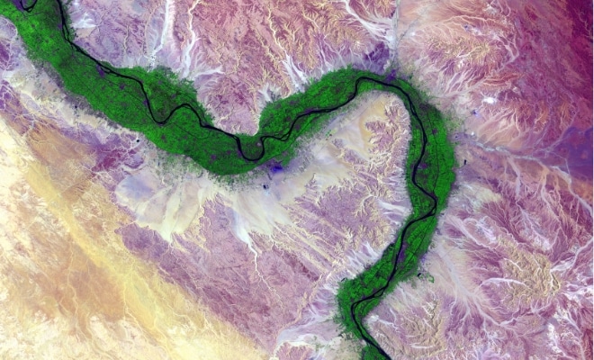
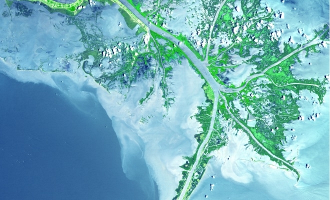
We provide robust flood data, which is key when assessing value-at-risk, disruption to service, or planning for adaptation.
Where we work
We’ve worked on hundreds of projects involving millions of assets across every continent and a wide range of sectors.
Click on a pin to see a project summary, and to close the summary. Drag the globe to explore more continents and countries.
1,950+projects
1,250,000+assets
52+Countries